CN / EN

Products

Homepage / Products / Bird Detection & Deterrence

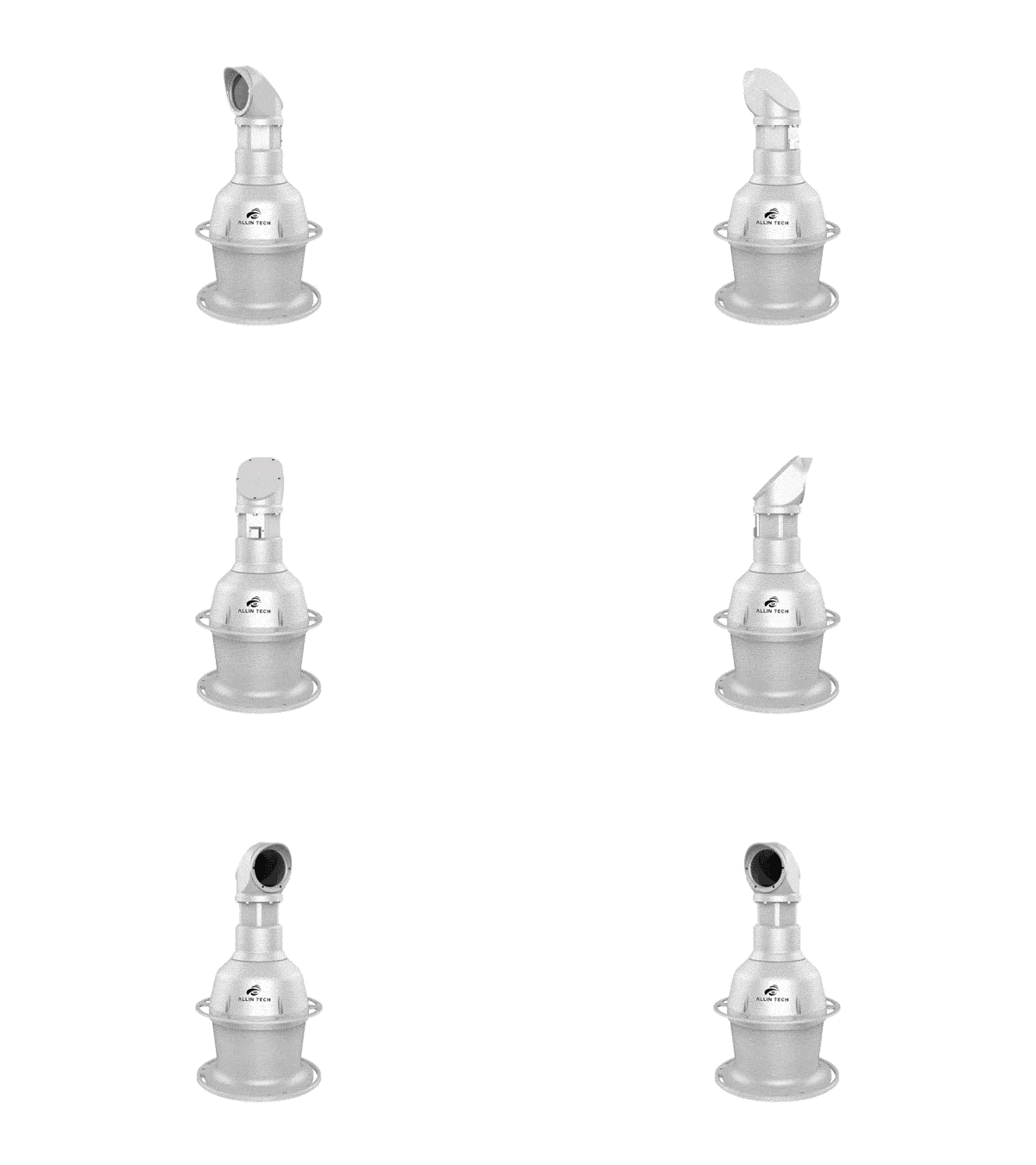
  • Automatic Search and Track Surveillance System—LWIR Channel
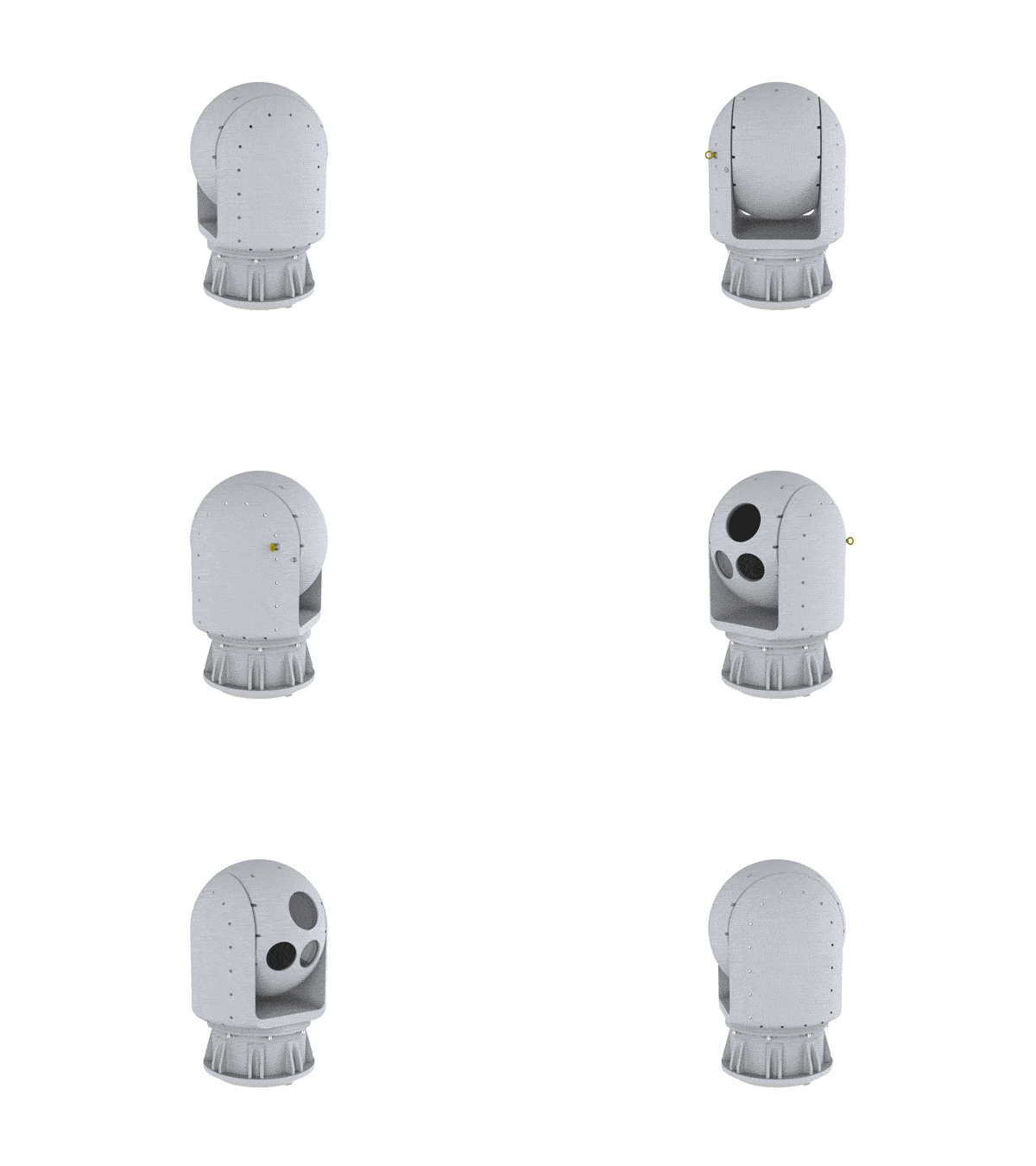
  • Automatic Search and Track Surveillance System—LWIR Channel
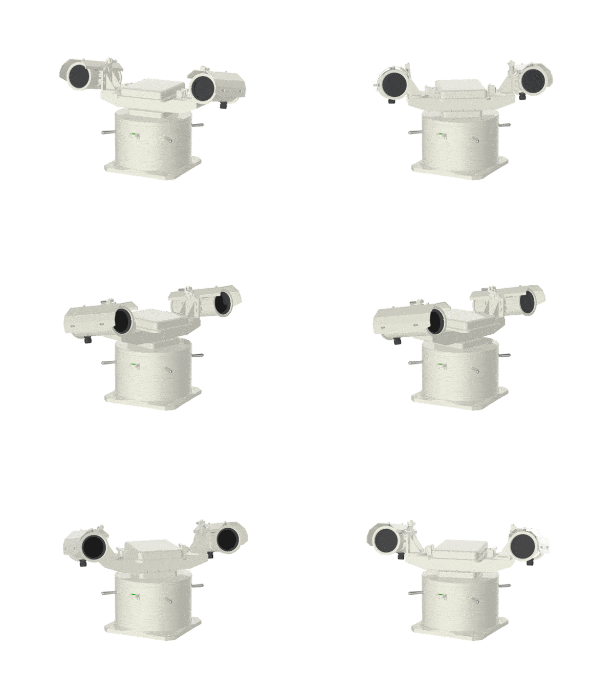
  • Automatic Search and Track Surveillance System—LWIR Channel
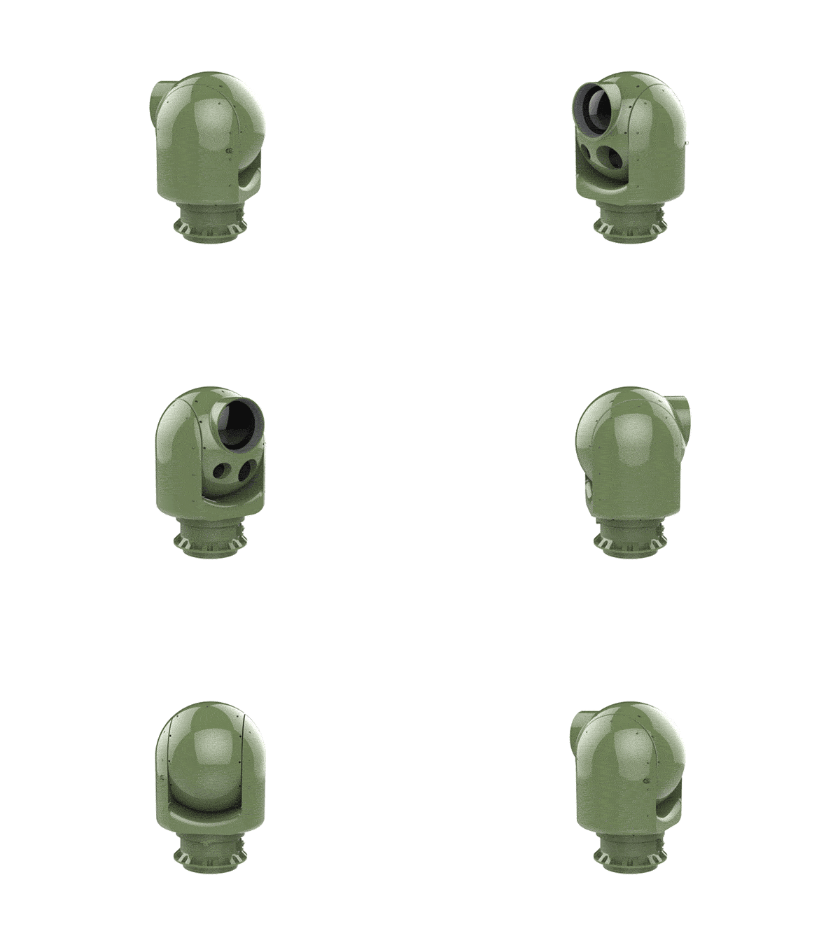
  • Automatic Search and Track Surveillance System—LWIR Channel

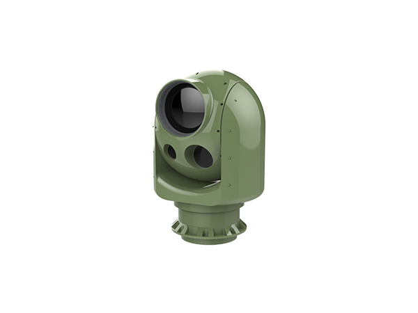
Automatic Search and Track Surveillance System—LWIR Channel

ARST-MA-I203A-I4I503A3

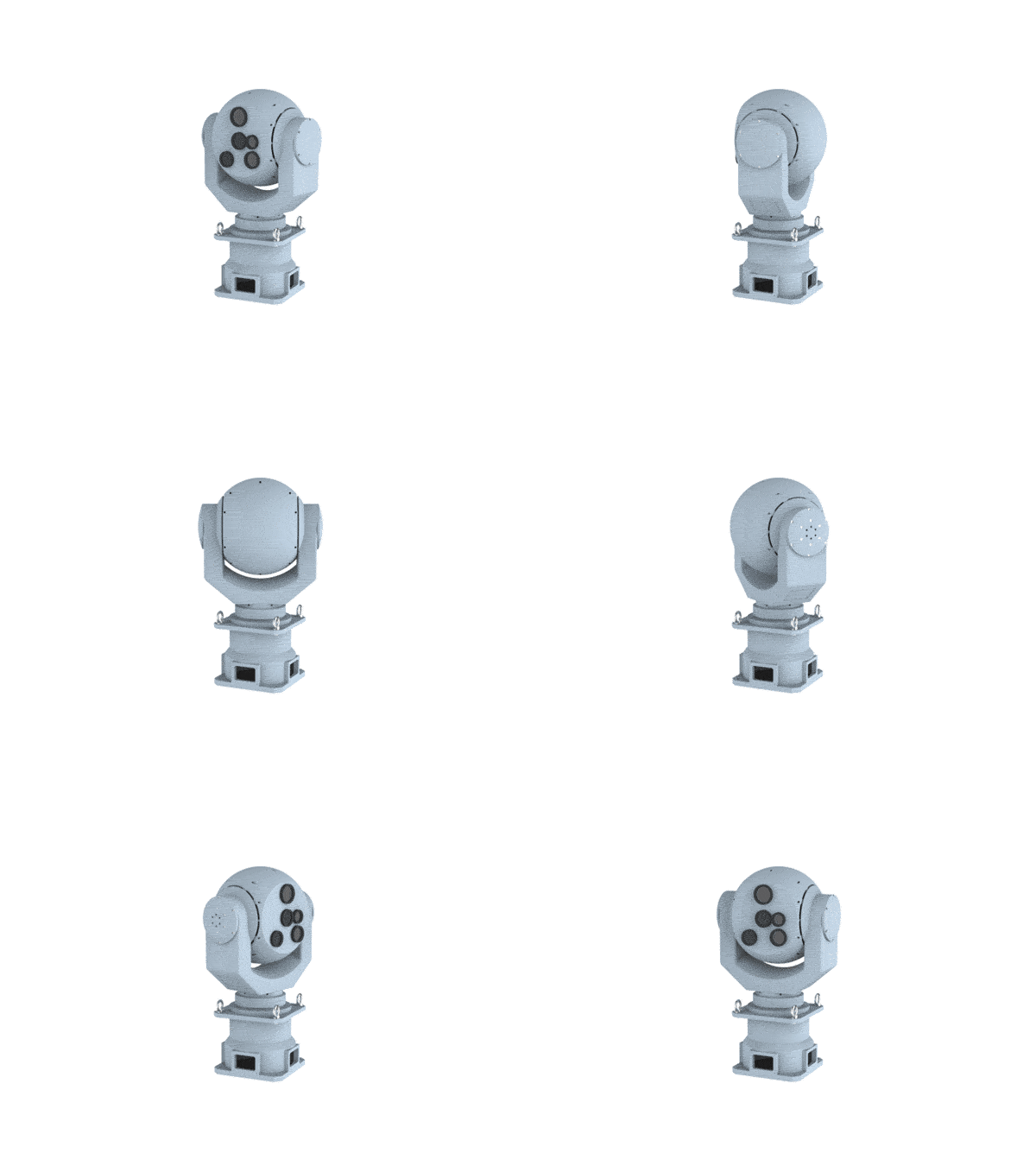
A low-light-level detector with large field, a low-light-level detectors with small field, a HD uncooled infrared thermal imaging detectors, and a HD color confirmation camera are seamlessly integrated together, passive detection and no wave emitted, which supports to search, track and monitor under all-weather & all-day condition, and help to airport low-attitude airspace management, such as low, small and slow target detection, early warning and monitoring, aircraft taking off and landing evidence collection, etc.

Product Introduction

  • Advantages

    ●  Panoramic imaging of low-altitude situation, diversify of real-time and visible information output to ensure clearance safety.
    ●  Any bird targets will be automatically detected, continuously range and track to generate HD slice images.
    ●  Automatic safety monitoring during aircraft take off, approach and land in persistent.
    ●  Monitoring, early warning and tracking of Low, Slow and Small targets such as bird, drone and airborne object, quickly and accurately identify the type and danger level of the it.
    ●  Enable integration with bird detection radar to track and confirm bird flying path.
    ●  Visually display of targets based on panoramic land-forms.
    ●  Passive detection, no electromagnetic wave emit, all-weather and all-day uninterrupted working.
  • Specifications

    Index Technical specifications
    Model ARST-M-IV04-A
    Detector type Low-light-level
    WFOV 
    Resolution 1280*1024PBasic model
    5000*5000PEnhancement model
    Low-light-level
    SFOV 
    FOV 9.8°*7.4°
    Resolution 1280*1024P
    Infrared Camera
    Uncooled 
    FOV 3.5°*3°
    Resolution 1280*1024P
    Color confirmation camera FOV 10.4°*8.3°
    Resolution 1920*1080P
    IFOV 0.63°min
    Scanning model 360° Panoramic/Sector scan
    Scanning period 1s~3s
    Multi-objective early warning ≥100
    Output mode / Frame rate IP/25Hz
    Power supply AC220V/200W (Working Power)
    Detection range for pigeon
    atmosphere visibility level I
    Daytime: 1000m
    Night: 700m
    Ranging accuracy Daytime: error is 10% when ≤1000m
    Night: error is 10% when ≤700m
  • Software

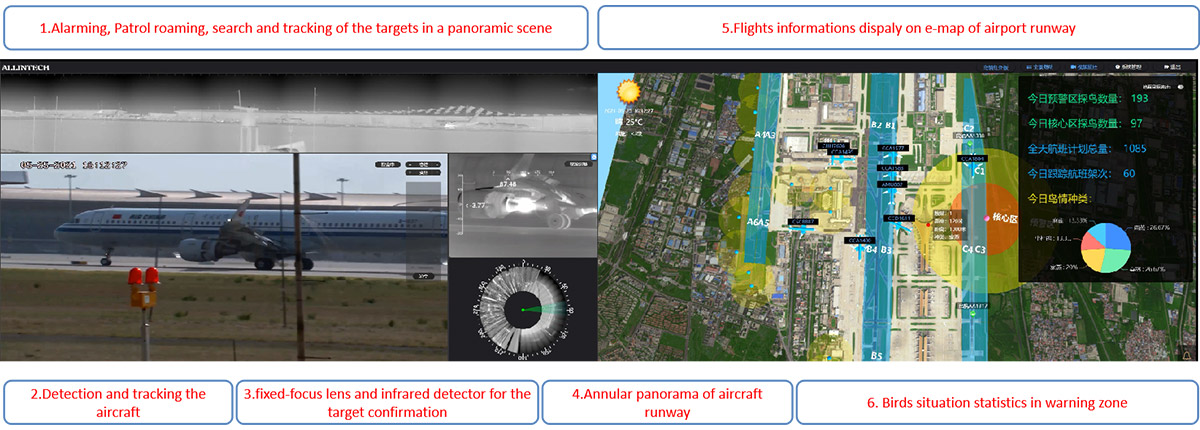
    Safety Tracking and Monitoring During Aircraft landing

  • Features

    ●  Based on the passive Electronic Optic technology, it is capable of bird situation detection, tracking and ranging from the ground to the low-altitude area.
    ●  Its embedded a machine learning algorithm developed by our independent R&D which improves the applicability of various meteorological conditions and the probability of bird situation interception, accurately and dynamically obtains the position and speed of a single bird or flocks, automatically retrieves high-definition slices, accurately acknowledge the birds distribution, and setup a big data of bird situation in low-altitude area , then provide the exact analysis to reduce the probability of bird strike in the airport.
    ●  It is functions of Low-altitude bird situation threat warning and assessment, freely setup electronic fence and bird alarm layered area, systematically carry out real-time collision warning, target identification, risk evolution and other work, achieves the safety management system for bird strike events.
    ●  Enable the working strategy of bird detection and deterrence all in one, combine with the PC software and mobile APP to achieve three-dimensional and real-time early warning, real-time linking with sound cannons, gas cannons and other equipment to implement bird dispel. By mean of on-site evaluation of the repelling effect was carried out to make the management of the airport bird prevention work transparent and visualized.
    ●  Its a powerful system with ability of detection all kinds of Low, Slow and Small targets that threaten low-altitude safety, such as small aircraft and other flying objects.
    ●  It can be integrated with Avian Bird Radar, track and confirm the bird situation approaching from a distance.
  • Video display

  • Applications

Related products

ALLIN CREATVIEW INFORMATION TECHNOLOGY CO.,Ltd.

Tel:+86-731-27577126

Email: Sales@allin-tech.com

Add:F17-01, Phase 6, Power Valley, Xinma Power Innovation Park, No. 899, Xianyue Ring Road, Tianyuan District, Zhuzhou, Hunan Province, CN 410007


  • 微信客服
Copyright © 2022 ALLIN CREATVIEW INFORMATION TECHNOLOGY CO.,Ltd.    Sitemap

Telephone

+86-731-27577126

Mobile

Mobile Web

Mobile Web

Top

Customer Service QR Code

Customer Service QR Code

Tel:+86-731-27577126